
Makira-Ulawa topographic map
Interactive map
Click on the map to display elevation.
About this map
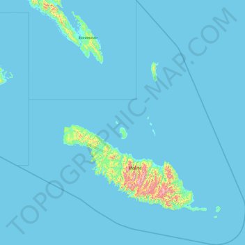
Name: Makira-Ulawa topographic map, elevation, terrain.
Location: Makira-Ulawa, Solomon Islands (-11.10397 160.90546 -9.24117 162.67763)
Average elevation: 72 ft
Minimum elevation: -3 ft
Maximum elevation: 3,245 ft
Other topographic maps
Click on a map to view its topography, its elevation and its terrain.