
Tame topographic map
Interactive map
Click on the map to display elevation.
About this map
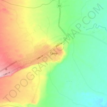
Name: Tame topographic map, elevation, terrain.
Location: Tame, Arauca, Colombia (6.42151 -71.76451 6.50151 -71.68451)
Average elevation: 896 ft
Minimum elevation: 650 ft
Maximum elevation: 1,263 ft