
Kalas topographic map
Interactive map
Click on the map to display elevation.
About this map
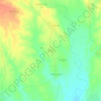
Name: Kalas topographic map, elevation, terrain.
Location: Kalas, Gujrāt District, Punjab, Pakistan (32.79364 74.24337 32.83364 74.28337)
Average elevation: 984 ft
Minimum elevation: 919 ft
Maximum elevation: 1,060 ft