
莫拉布山 topographic map
Interactive map
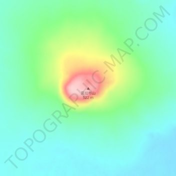
Click on the map to display elevation.
About this map
Name: 莫拉布山 topographic map, elevation, terrain.
Location: 莫拉布山, 焦得布林场, 五大连池市, 黑河市, 黑龙江省, 中国 (48.75160 126.41343 48.75170 126.41353)
Average elevation: 1,234 ft
Minimum elevation: 1,073 ft
Maximum elevation: 1,680 ft
Other topographic maps
Click on a map to view its topography, its elevation and its terrain.