
Ressen topographic map
Interactive map
Click on the map to display elevation.
About this map
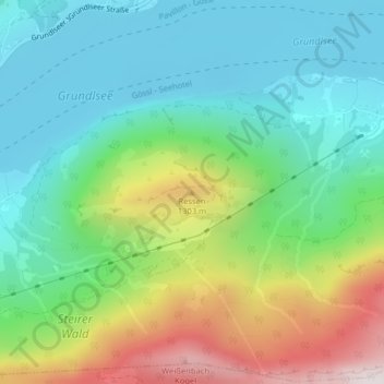
Name: Ressen topographic map, elevation, terrain.
Average elevation: 3,232 ft
Minimum elevation: 2,274 ft
Maximum elevation: 5,367 ft
Other topographic maps
Click on a map to view its topography, its elevation and its terrain.
Grundlsee
Oostenrijk > Stiermarken > Bezirk Liezen > Grundlsee
Grundlsee, Bezirk Liezen, Stiermarken, 8993, Oostenrijk
Average elevation: 4,068 ft