
Garrison topographic map
Interactive map
Click on the map to display elevation.
About this map
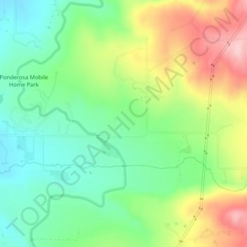
Name: Garrison topographic map, elevation, terrain.
Location: Garrison, Millard County, Utah, Verenigde Staten van Amerika (46.28677 -93.83847 46.31249 -93.81208)
Average elevation: 3,999 ft
Minimum elevation: 3,760 ft
Maximum elevation: 4,380 ft