
Parit Buntar topographic map
Interactive map
Click on the map to display elevation.
About this map
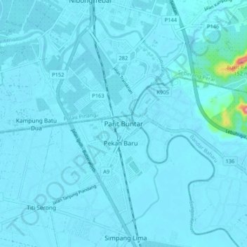
Name: Parit Buntar topographic map, elevation, terrain.
Location: Parit Buntar, Perak, 34200, Malaysia (5.09000 100.44939 5.17000 100.52939)
Average elevation: 23 ft
Minimum elevation: -3 ft
Maximum elevation: 512 ft