
Rushmore topographic map
Interactive map
Click on the map to display elevation.
About this map
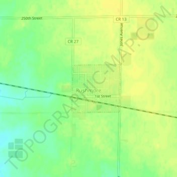
Name: Rushmore topographic map, elevation, terrain.
Location: Rushmore, Nobles County, Minnesota, United States of America (43.61602 -95.80408 43.62337 -95.79384)
Average elevation: 1,667 ft
Minimum elevation: 1,624 ft
Maximum elevation: 1,693 ft