
Oudenburg topographic map
Interactive map
Click on the map to display elevation.
About this map
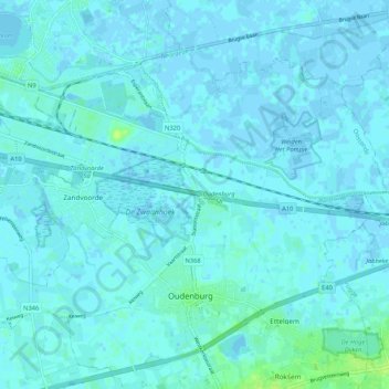
Name: Oudenburg topographic map, elevation, terrain.
Location: Oudenburg, West Flanders, Flanders, Belgium (51.17805 2.93624 51.22446 3.04145)
Average elevation: 7 ft
Minimum elevation: -10 ft
Maximum elevation: 43 ft