
La Menelle topographic map
Interactive map
Click on the map to display elevation.
About this map
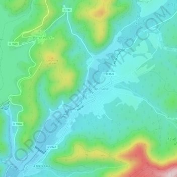
Name: La Menelle topographic map, elevation, terrain.
Average elevation: 1,293 ft
Minimum elevation: 988 ft
Maximum elevation: 2,293 ft
Other topographic maps
Click on a map to view its topography, its elevation and its terrain.
Barrage du Lac de Pierre-Percée
France > Grand Est > Meurthe-et-Moselle > Pierre-Percée
Barrage du Lac de Pierre-Percée, Pierre-Percée, Lunéville, Meurthe-et-Moselle, Grand Est, France métropolitaine, 54540, France
Average elevation: 1,306 ft