
Stia topographic map
Interactive map
Click on the map to display elevation.
About this map
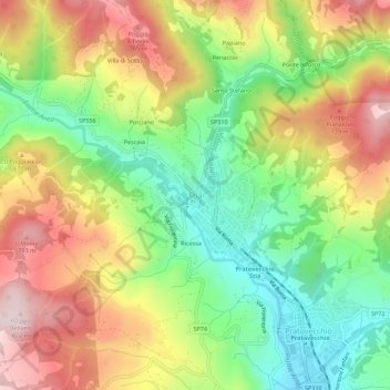
Name: Stia topographic map, elevation, terrain.
Location: Stia, AR, Tuscany, 52017, Italy (43.78154 11.68673 43.82154 11.72673)
Average elevation: 1,952 ft
Minimum elevation: 1,319 ft
Maximum elevation: 2,694 ft