
Chordara topographic map
Interactive map
Click on the map to display elevation.
About this map
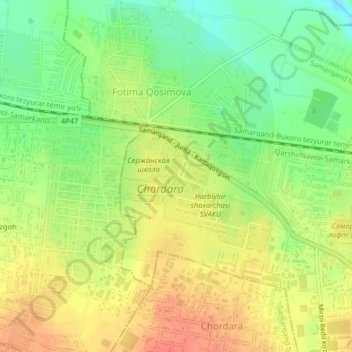
Name: Chordara topographic map, elevation, terrain.
Location: Chordara, Samarqand Tumani, Provinz Samarkand, Usbekistan (39.67047 66.86940 39.70170 66.90528)
Average elevation: 2,228 ft
Minimum elevation: 2,139 ft
Maximum elevation: 2,310 ft