
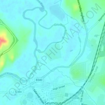
Seymour Police Paddock Reserve/ Goulborn River Water Frontage topographic map
Interactive map
Click on the map to display elevation.
About this map
Name: Seymour Police Paddock Reserve/ Goulborn River Water Frontage topographic map, elevation, terrain.
Average elevation: 472 ft
Minimum elevation: 436 ft
Maximum elevation: 699 ft