
Millegem topographic map
Interactive map
Click on the map to display elevation.
About this map
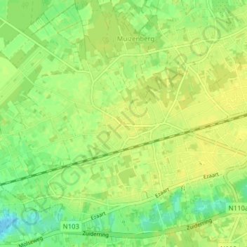
Name: Millegem topographic map, elevation, terrain.
Location: Millegem, Mol, Turnhout, Antwerpen, Vlaanderen, 2400, België (51.16849 5.05829 51.20849 5.09829)
Average elevation: 82 ft
Minimum elevation: 43 ft
Maximum elevation: 98 ft
Other topographic maps
Click on a map to view its topography, its elevation and its terrain.
Ginderbuiten
België > Antwerpen > Turnhout > Mol
Ginderbuiten, Mol, Turnhout, Antwerpen, Vlaanderen, 2400, België
Average elevation: 89 ft