
Gardenside topographic map
Interactive map
Click on the map to display elevation.
About this map
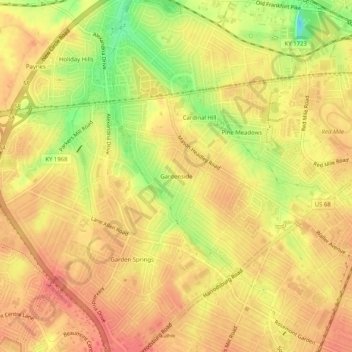
Name: Gardenside topographic map, elevation, terrain.
Location: Gardenside, Fayette County, Kentucky, 40504, USA (38.01841 -84.56216 38.05841 -84.52216)
Average elevation: 961 ft
Minimum elevation: 837 ft
Maximum elevation: 1,014 ft