
Manu National Park topographic map
Interactive map
Click on the map to display elevation.
About this map
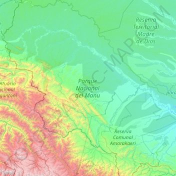
Name: Manu National Park topographic map, elevation, terrain.
Average elevation: 3,301 ft
Minimum elevation: 787 ft
Maximum elevation: 18,199 ft
Other topographic maps
Click on a map to view its topography, its elevation and its terrain.
Manu
Peru > Madre de Dios > Manu
Manu, Province of Manú, Madre de Dios, Peru
Average elevation: 3,166 ft