
Jakar topographic map
Interactive map
Click on the map to display elevation.
About this map
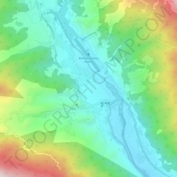
Name: Jakar topographic map, elevation, terrain.
Location: Jakar, Bumthang Dzongkhag, Bhutan (27.53038 90.72790 27.57642 90.76827)
Average elevation: 9,124 ft
Minimum elevation: 8,337 ft
Maximum elevation: 10,945 ft