Geolocate

Tumpang topographic map

Click on the map to display elevation.

About this map
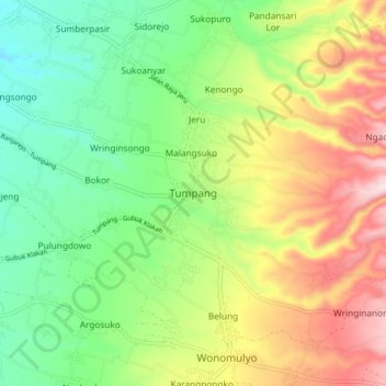
Name: Tumpang topographic map, elevation, terrain.

Location: Tumpang, Kabupaten Malang, East Java, 65156, Indonesia (-8.04676 112.72155 -7.96676 112.80155)

Average elevation: 2,028 ft

Minimum elevation: 1,526 ft

Maximum elevation: 2,779 ft

Other topographic maps

Click on a map to view its topography, its elevation and its terrain.
Pulau Sempu

Indonesia > East Java > Kabupaten Malang

Average elevation: 85 ft

Sungai Brantas

Indonesia > East Java > Kabupaten Malang > Sukoraharjo

Average elevation: 1,391 ft

Tegalsari

Indonesia > East Java > Kabupaten Malang

Average elevation: 1,040 ft

Pulau Sempu

Indonesia > East Java > Kabupaten Malang

Average elevation: 85 ft

Gear up for your next adventure:

🔥Fast-Boil Camping Stoves - Efficient cooking systems for quick trail meals
🪶Fire Starter Kit - Reliable fire starter for survival and camping
🖼️Topo Map Wall Art - Decorative topographic prints of famous peaks and regions
🧥Waterproof Jacket for Hiking - Breathable and rugged rain jacket for outdoor excursions
🔦LED Headlamp - Bright and durable LED headlamp for night navigation

As an Amazon Associate, this site earns from qualifying purchases at no extra cost to you.