
Ricaurte topographic map
Interactive map
Click on the map to display elevation.
About this map
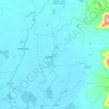
Name: Ricaurte topographic map, elevation, terrain.
Location: Ricaurte, Urdaneta, Los Ríos, 1, Ecuador (-1.66797 -79.47773 -1.46081 -79.24592)
Average elevation: 108 ft
Minimum elevation: 13 ft
Maximum elevation: 1,860 ft