
Cadereyta Jiménez topographic map
Interactive map
Click on the map to display elevation.
About this map
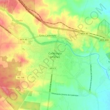
Name: Cadereyta Jiménez topographic map, elevation, terrain.
Location: Cadereyta Jiménez, Nuevo León, 67450, México (25.54770 -100.04125 25.62770 -99.96125)
Average elevation: 1,099 ft
Minimum elevation: 988 ft
Maximum elevation: 1,227 ft