
Unalakleet topographic map
Interactive map
Click on the map to display elevation.
About this map
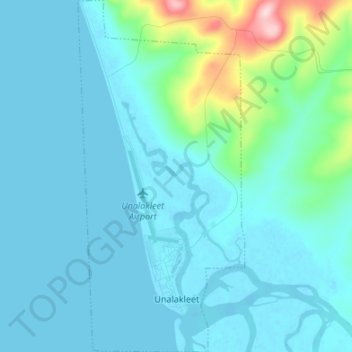
Name: Unalakleet topographic map, elevation, terrain.
Location: Unalakleet, Nome, Alaska, 99684, United States of America (63.86407 -160.82591 63.92327 -160.76207)
Average elevation: 85 ft
Minimum elevation: -7 ft
Maximum elevation: 712 ft