
Pyrenäen topographic map
Interactive map
Click on the map to display elevation.
About this map
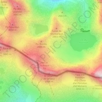
Name: Pyrenäen topographic map, elevation, terrain.
Average elevation: 8,911 ft
Minimum elevation: 7,431 ft
Maximum elevation: 10,394 ft
Topographische Karte der Pyrenäen