
Paasloo topographic map
Interactive map
Click on the map to display elevation.
About this map
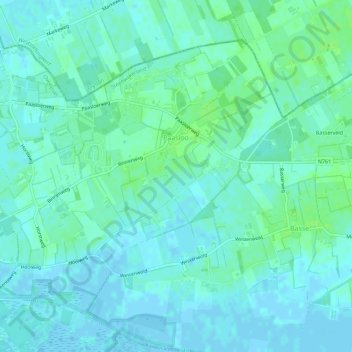
Name: Paasloo topographic map, elevation, terrain.
Location: Paasloo, Steenwijkerland, Overijssel, Niederlande (52.79594 5.97479 52.82254 6.03117)
Average elevation: 10 ft
Minimum elevation: -10 ft
Maximum elevation: 30 ft
Other topographic maps
Click on a map to view its topography, its elevation and its terrain.
Giethoorn
Niederlande > Overijssel > Steenwijkerland
Giethoorn, Steenwijkerland, Overijssel, Niederlande
Average elevation: 0 ft
Steenwijkerland
Niederlande > Overijssel > Steenwijkerland
Steenwijkerland, Overijssel, Niederlande
Average elevation: 3 ft