
Durian Tunggal topographic map
Interactive map
Click on the map to display elevation.
About this map
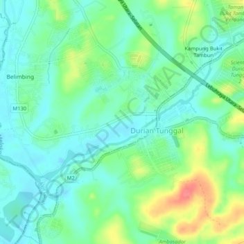
Name: Durian Tunggal topographic map, elevation, terrain.
Location: Durian Tunggal, Alor Gajah, Malacca, 76100, Malaysia (2.29314 102.25643 2.33314 102.29643)
Average elevation: 72 ft
Minimum elevation: 3 ft
Maximum elevation: 233 ft