
Kolo Koleri topographic map
Interactive map
Click on the map to display elevation.
About this map
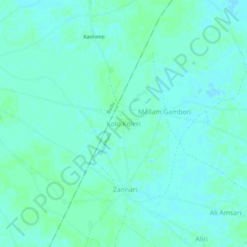
Name: Kolo Koleri topographic map, elevation, terrain.
Location: Kolo Koleri, Guzamala, Borno, Nigeria (12.67549 13.22436 12.71549 13.26436)
Average elevation: 965 ft
Minimum elevation: 955 ft
Maximum elevation: 971 ft