
Imrabten topographic map
Interactive map
Click on the map to display elevation.
About this map
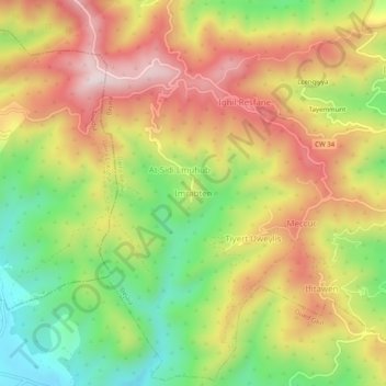
Name: Imrabten topographic map, elevation, terrain.
Location: Imrabten, Daïra Béjaïa, Béjaïa, 06000, RADP (36.73773 4.93958 36.77773 4.97958)
Average elevation: 1,024 ft
Minimum elevation: 171 ft
Maximum elevation: 1,860 ft