
Brockham topographic map
Interactive map
Click on the map to display elevation.
About this map
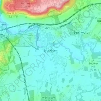
Name: Brockham topographic map, elevation, terrain.
Location: Brockham, Surrey, South East, England, RH3 7JR, United Kingdom (51.21188 -0.30625 51.25188 -0.26625)
Average elevation: 243 ft
Minimum elevation: 125 ft
Maximum elevation: 728 ft