
黄洋河 topographic map
Interactive map
Click on the map to display elevation.
About this map
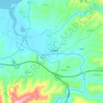
Name: 黄洋河 topographic map, elevation, terrain.
Location: 黄洋河, 汉滨区, 安康市, 陕西省, 中国 (32.66036 109.05875 32.70960 109.10144)
Average elevation: 1,017 ft
Minimum elevation: 758 ft
Maximum elevation: 1,827 ft