
Private Thomas Millar Armstrong Park topographic map
Interactive map
Click on the map to display elevation.
About this map
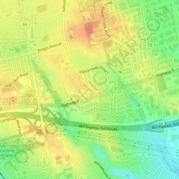
Name: Private Thomas Millar Armstrong Park topographic map, elevation, terrain.
Average elevation: 663 ft
Minimum elevation: 577 ft
Maximum elevation: 728 ft
Other topographic maps
Click on a map to view its topography, its elevation and its terrain.
Oak Ridges Corridor Park
Canada > Ontario > York Region > Richmond Hill
Oak Ridges Corridor Park, Richmond Hill, York Region, Golden Horseshoe, Ontario, L4E 5B9, Canada
Average elevation: 1,004 ft