
Arrache topographic map
Interactive map
Click on the map to display elevation.
About this map
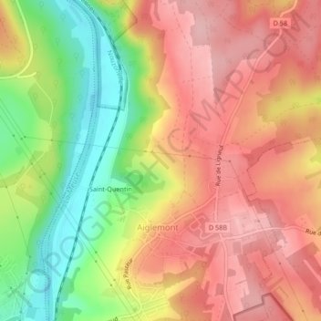
Name: Arrache topographic map, elevation, terrain.
Average elevation: 741 ft
Minimum elevation: 433 ft
Maximum elevation: 961 ft
Other topographic maps
Click on a map to view its topography, its elevation and its terrain.
L'Eteignère
France > Grand Est > Ardennes > Aiglemont > Saint-Quentin
L'Eteignère, Saint-Quentin, Aiglemont, Charleville-Mézières, Ardennes, Grand Est, France métropolitaine, 08090, France
Average elevation: 755 ft