
Cosalá topographic map
Interactive map
Click on the map to display elevation.
About this map
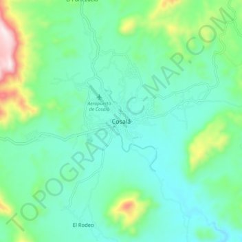
Name: Cosalá topographic map, elevation, terrain.
Location: Cosalá, Sinaloa, 80700, México (24.37269 -106.73127 24.45269 -106.65127)
Average elevation: 1,532 ft
Minimum elevation: 1,053 ft
Maximum elevation: 3,166 ft
Other topographic maps
Click on a map to view its topography, its elevation and its terrain.