
Lédenon topographic map
Interactive map
Click on the map to display elevation.
About this map
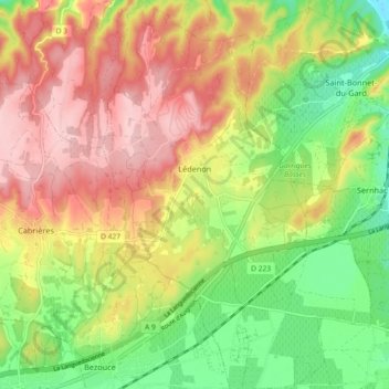
Name: Lédenon topographic map, elevation, terrain.
Average elevation: 381 ft
Minimum elevation: 66 ft
Maximum elevation: 696 ft
Other topographic maps
Click on a map to view its topography, its elevation and its terrain.
Aigues-Mortes
Aigues-Mortes, Nîmes, Gard, Occitania, Francia metropolitana, 30220, Francia
Average elevation: 0 ft