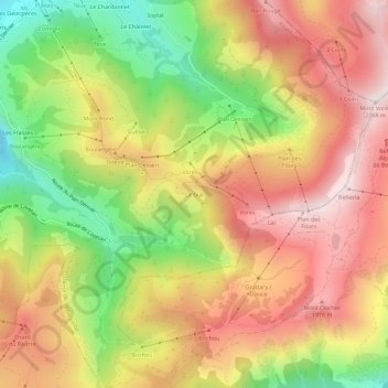
Le Guï topographic map
Interactive map
Click on the map to display elevation.
About this map
Name: Le Guï topographic map, elevation, terrain.
Average elevation: 5,568 ft
Minimum elevation: 4,163 ft
Maximum elevation: 6,749 ft

Click on the map to display elevation.
Name: Le Guï topographic map, elevation, terrain.
Average elevation: 5,568 ft
Minimum elevation: 4,163 ft
Maximum elevation: 6,749 ft