
Domäne Luhne topographic map
Interactive map
Click on the map to display elevation.
About this map
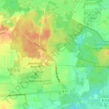
Name: Domäne Luhne topographic map, elevation, terrain.
Average elevation: 102 ft
Minimum elevation: 49 ft
Maximum elevation: 161 ft
Other topographic maps
Click on a map to view its topography, its elevation and its terrain.
Borchel
Deutschland > Niedersachsen > Landkreis Rotenburg (Wümme) > Rotenburg
Borchel, Rotenburg, Landkreis Rotenburg (Wümme), Niedersachsen, Deutschland
Average elevation: 105 ft
Mulmshorn
Deutschland > Niedersachsen > Landkreis Rotenburg (Wümme) > Rotenburg > Mulmshorn
Mulmshorn, Rotenburg, Landkreis Rotenburg (Wümme), Niedersachsen, Deutschland
Average elevation: 92 ft