Geolocate

Monte Priora topographic map

Click on the map to display elevation.

About this map

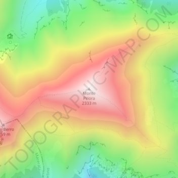
Name: Monte Priora topographic map, elevation, terrain.

Location: Monte Priora, Montefortino, Fermo, Italy (42.93213 13.24065 42.93223 13.24075)

Average elevation: 5,932 ft

Minimum elevation: 4,222 ft

Maximum elevation: 7,612 ft

Gear up for your next adventure:

🎒Trekking Poles - Sturdy poles for balance and stability on rough terrain
💧Water Purification System - Clean water on the trail with reliable purifiers
🔋Rechargeable Batteries - Power up your outdoor devices
🔪Outdoor Multitools - Essential survival tools for gear repair and field use
📖Nature Tracking Books - Learn to track wildlife and terrain

As an Amazon Associate, this site earns from qualifying purchases at no extra cost to you.