
黎滩河 topographic map
Interactive map
Click on the map to display elevation.
About this map
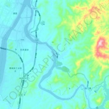
Name: 黎滩河 topographic map, elevation, terrain.
Location: 黎滩河, 洪门镇, 南城县, 抚州市, 江西省, 中国 (27.47318 116.64944 27.56982 116.71947)
Average elevation: 420 ft
Minimum elevation: 194 ft
Maximum elevation: 1,581 ft