
南街二村 topographic map
Interactive map
Click on the map to display elevation.
About this map
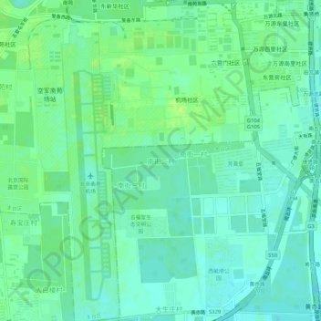
Name: 南街二村 topographic map, elevation, terrain.
Location: 南街二村, 大兴区, Pekín, China (39.76402 116.37913 39.80402 116.41913)
Average elevation: 131 ft
Minimum elevation: 112 ft
Maximum elevation: 154 ft