
Chajarí topographic map
Interactive map
Click on the map to display elevation.
About this map
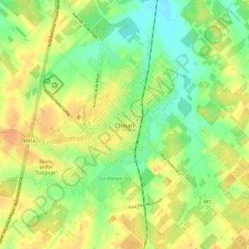
Name: Chajarí topographic map, elevation, terrain.
Average elevation: 197 ft
Minimum elevation: 138 ft
Maximum elevation: 249 ft
Other topographic maps
Click on a map to view its topography, its elevation and its terrain.
Salto
Argentina > Entre Ríos > Distrito Mandisoví > Chajarí
Salto, Chajarí, Distrito Mandisoví, Departamento Federación, Entre Ríos, Argentina
Average elevation: 184 ft