
Provincia de Azángaro topographic map
Interactive map
Click on the map to display elevation.
About this map
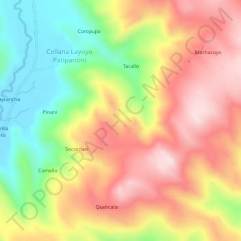
Name: Provincia de Azángaro topographic map, elevation, terrain.
Location: Provincia de Azángaro, Azángaro, Puno, Perú (-14.82016 -70.17175 -14.78016 -70.13175)
Average elevation: 13,494 ft
Minimum elevation: 12,822 ft
Maximum elevation: 14,101 ft
Other topographic maps
Click on a map to view its topography, its elevation and its terrain.