
Pinetop topographic map
Click on the map to display elevation.
About this map
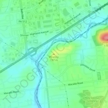
Name: Pinetop topographic map, elevation, terrain.
Average elevation: 354 ft
Minimum elevation: 276 ft
Maximum elevation: 574 ft
Northampton County trails, hiking, mountain biking, running and outdoor activities
Other topographic maps
Click on a map to view its topography, its elevation and its terrain.
Illick's Mill Road Gateway
United States > Pennsylvania > Northampton County > Bethlehem
Average elevation: 344 ft