
Allende topographic map
Interactive map
Click on the map to display elevation.
About this map
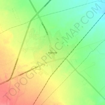
Name: Allende topographic map, elevation, terrain.
Location: Allende, Coahuila, México (28.30208 -100.89173 28.38208 -100.81173)
Average elevation: 1,247 ft
Minimum elevation: 1,148 ft
Maximum elevation: 1,362 ft