
Habergrund topographic map
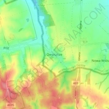
Interactive map
Click on the map to display elevation.
About this map
Name: Habergrund topographic map, elevation, terrain.
Average elevation: 784 ft
Minimum elevation: 650 ft
Maximum elevation: 951 ft
Other topographic maps
Click on a map to view its topography, its elevation and its terrain.
Oderbrück
Polen > Woiwodschaft Schlesien > powiat raciborski
Oderbrück, gmina Nędza, powiat raciborski, Woiwodschaft Schlesien, 47-442, Polen
Average elevation: 597 ft