Geolocate

Debrebirhan topographic map

Click on the map to display elevation.

About this map

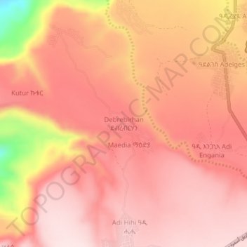
Name: Debrebirhan topographic map, elevation, terrain.

Location: Debrebirhan, Debub Region, Eritrea (14.64156 38.81098 14.68156 38.85098)

Average elevation: 6,368 ft

Minimum elevation: 5,440 ft

Maximum elevation: 6,683 ft

Gear up for your next adventure:

🥘Titanium Cookware - Durable, featherlight pots and pans for backpacking
🔋Solar Power Banks - Keep your GPS and phone charged in remote wilderness areas
Backpacking Tents - Weight-optimized shelters for multi-day topographic surveys
🩹Survival Bandages - High‑quality bandages for emergencies
🥩Freeze-Dried Meals - Nutritious and lightweight food for remote expeditions

As an Amazon Associate, this site earns from qualifying purchases at no extra cost to you.