
Copicut Hill topographic map
Interactive map
Click on the map to display elevation.
About this map
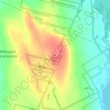
Name: Copicut Hill topographic map, elevation, terrain.
Average elevation: 230 ft
Minimum elevation: 131 ft
Maximum elevation: 344 ft
Other topographic maps
Click on a map to view its topography, its elevation and its terrain.
Bowenville
United States > Massachusetts > Bristol County > Fall River
Bowenville, Fall River, Bristol County, Massachusetts, 02720, United States
Average elevation: 92 ft
Fall River
United States > Massachusetts > Bristol County > Fall River
Fall River, Bristol County, Massachusetts, 02722, United States
Average elevation: 75 ft