
San José Poliutla topographic map
Interactive map
Click on the map to display elevation.
About this map
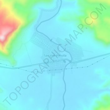
Name: San José Poliutla topographic map, elevation, terrain.
Location: San José Poliutla, Tlapehuala, Guerrero, México (18.25065 -100.40996 18.29065 -100.36996)
Average elevation: 1,191 ft
Minimum elevation: 991 ft
Maximum elevation: 2,497 ft