
Dreia topographic map
Interactive map
Click on the map to display elevation.
About this map
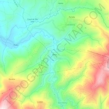
Name: Dreia topographic map, elevation, terrain.
Location: Dreia, Benfeita, Arganil, Coimbra, 3305-031, Portugal (40.22785 -7.96840 40.26785 -7.92840)
Average elevation: 1,286 ft
Minimum elevation: 640 ft
Maximum elevation: 2,379 ft
Other topographic maps
Click on a map to view its topography, its elevation and its terrain.