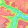
Versailles topographic map
Click on the map to display elevation.
Versailles
Versailles is located 17.1 km (10.6 mi) west-southwest from the centre of Paris. The city sits on an elevated plateau, 130 to 140 metres (430 to 460 ft) above sea level (whereas the elevation of the centre of Paris is only 33 m (108 ft) above sea level), surrounded by wooded hills: in the north the forests of Marly and Fausses-Reposes, and in the south the forests of Satory and Meudon.
About this map
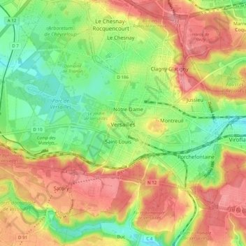
Name: Versailles topographic map, elevation, terrain.
Average elevation: 466 ft
Minimum elevation: 325 ft
Maximum elevation: 607 ft
Other topographic maps
Click on a map to view its topography, its elevation and its terrain.
Le Champtier des Fourneaux
France > Ile-de-France > Yvelines > Dampierre-en-Yvelines
Average elevation: 469 ft