
Monte Louro topographic map
Interactive map
Click on the map to display elevation.
About this map
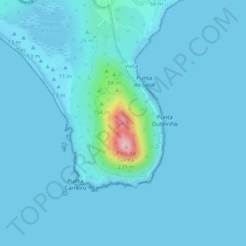
Name: Monte Louro topographic map, elevation, terrain.
Location: Monte Louro, Muros, Corunha, Galiza, 15291, Espanha (42.74523 -9.08256 42.74533 -9.08246)
Average elevation: 46 ft
Minimum elevation: -10 ft
Maximum elevation: 732 ft
Other topographic maps
Click on a map to view its topography, its elevation and its terrain.