
天宝山河 topographic map
Interactive map
Click on the map to display elevation.
About this map
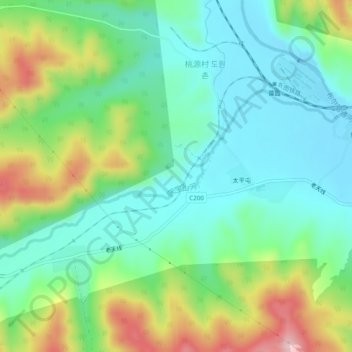
Name: 天宝山河 topographic map, elevation, terrain.
Location: 天宝山河, 老头沟镇, 龙井市, 延边朝鲜族自治州, 吉林省, 中国 (42.89860 129.07845 42.91595 129.12710)
Average elevation: 1,056 ft
Minimum elevation: 797 ft
Maximum elevation: 1,621 ft