
二郎山 topographic map
Interactive map
Click on the map to display elevation.
About this map
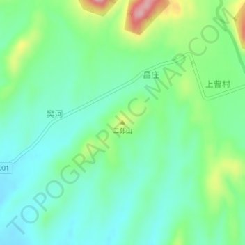
Name: 二郎山 topographic map, elevation, terrain.
Location: 二郎山, 驻马店市, 河南省, 中国 (33.10970 113.49998 33.10980 113.50008)
Average elevation: 735 ft
Minimum elevation: 581 ft
Maximum elevation: 1,109 ft
Other topographic maps
Click on a map to view its topography, its elevation and its terrain.